Rosa Bennett · 15 September 2026
Volunteer Networks Build Real-Time Flora Tracking Systems Across Protected European Zones
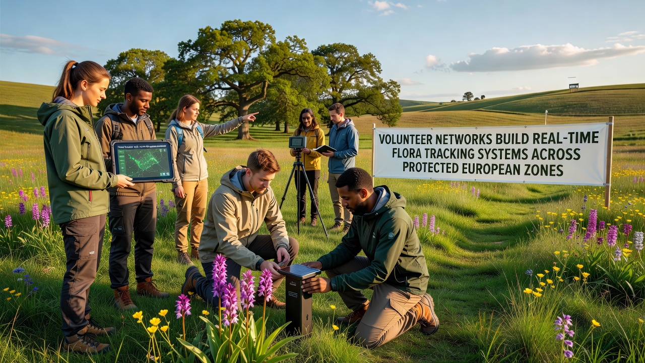
Volunteer networks across Europe have developed real-time flora tracking systems that operate in protected zones such as Natura 2000 sites and national parks in the Alps and Pyrenees, where participants collect and upload data on plant distributions through coordinated mobile applications and sensor networks. These efforts connect local observers with centralized databases maintained by research institutions, allowing updates on species presence to reach analysts within hours rather than weeks.
Expansion of Citizen Science Protocols
Groups operating in Germany, France, and Italy coordinate training sessions that teach identification techniques for endemic species while emphasizing standardized data entry formats. Participants log coordinates, growth stages, and environmental conditions using apps that sync automatically with servers hosted by universities in each country. Data from these sessions feeds into models that predict shifts in vegetation patterns based on temperature and precipitation records collected over multiple seasons.
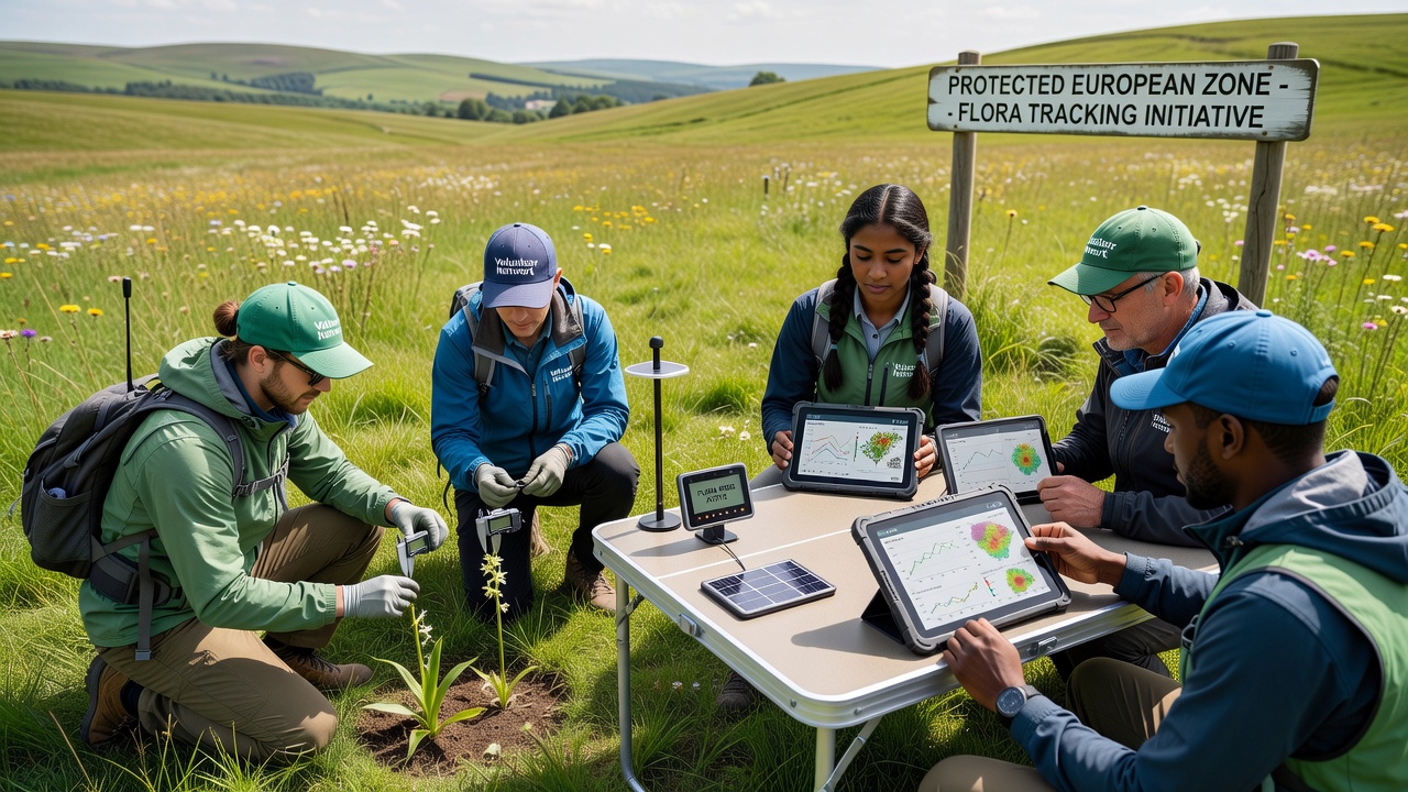
In September 2026 several networks plan to activate upgraded sensor arrays in high-altitude meadows, where devices measure soil moisture alongside photographic records captured by volunteers during scheduled transects. The combined dataset will support comparisons between current readings and baseline surveys completed five years earlier.
Technology Integration and Data Flow
Systems rely on low-power wide-area networks that transmit small packets from remote field units to regional hubs, while volunteers supplement automated readings with manual observations during monthly visits. Software platforms process incoming records through algorithms that flag anomalies such as unexpected species appearances or sudden declines in cover. Alerts generated by these tools reach park managers who can adjust access restrictions or initiate targeted surveys.
One project spanning the Carpathian Mountains links volunteer reports to satellite imagery processed by the European Space Agency, creating layered maps that highlight areas where ground observations confirm or contradict remote sensing results. Researchers at collaborating institutions review discrepancies during quarterly meetings and refine calibration methods accordingly.
Regional Case Examples
Networks in the Picos de Europa national park have documented the spread of certain alpine plants into lower elevations over three consecutive summers, with timestamps attached to each record. Similar programs in the Bavarian Forest record flowering dates for protected orchids, producing timelines that align with meteorological data from nearby weather stations. Observers note that consistent participation from the same volunteers improves data reliability because repeat visitors recognize subtle changes in individual plant clusters.
Cross-border initiatives between Slovenia and Austria share a common database structure, allowing seamless transfer of records when species ranges extend across political boundaries. Funding for equipment comes from grants administered through the European Commission biodiversity programs, while volunteer time remains the primary labor source.
Challenges in Maintaining Accuracy
Variations in volunteer experience levels require ongoing quality control measures, including duplicate entries for the same locations and expert verification of submitted photographs. System operators address these issues by implementing automated checks that compare new records against historical distributions before they enter the main archive. When inconsistencies appear, follow-up field visits are scheduled within the same week.
Connectivity remains limited in some deep valley locations, prompting the use of offline modes that store data until devices reach areas with reliable signal. Battery life and weatherproofing of handheld units receive regular attention during equipment reviews conducted before each field season.
Conclusion
Real-time flora tracking through volunteer networks continues to expand coverage within protected European zones, supported by integrated technology and standardized protocols. Data generated by these systems contributes to broader monitoring frameworks managed by institutions such as the European Environment Agency and university research centers. Ongoing deployments scheduled for September 2026 will add further sensor capacity in additional mountain ranges, extending the geographic reach of existing observation grids.