Freya Schmid · 13 October 2026
Vineyard Owners in the Mosel Valley Integrate Citizen Science Data to Safeguard Rare Plant Species Amid Regional Development
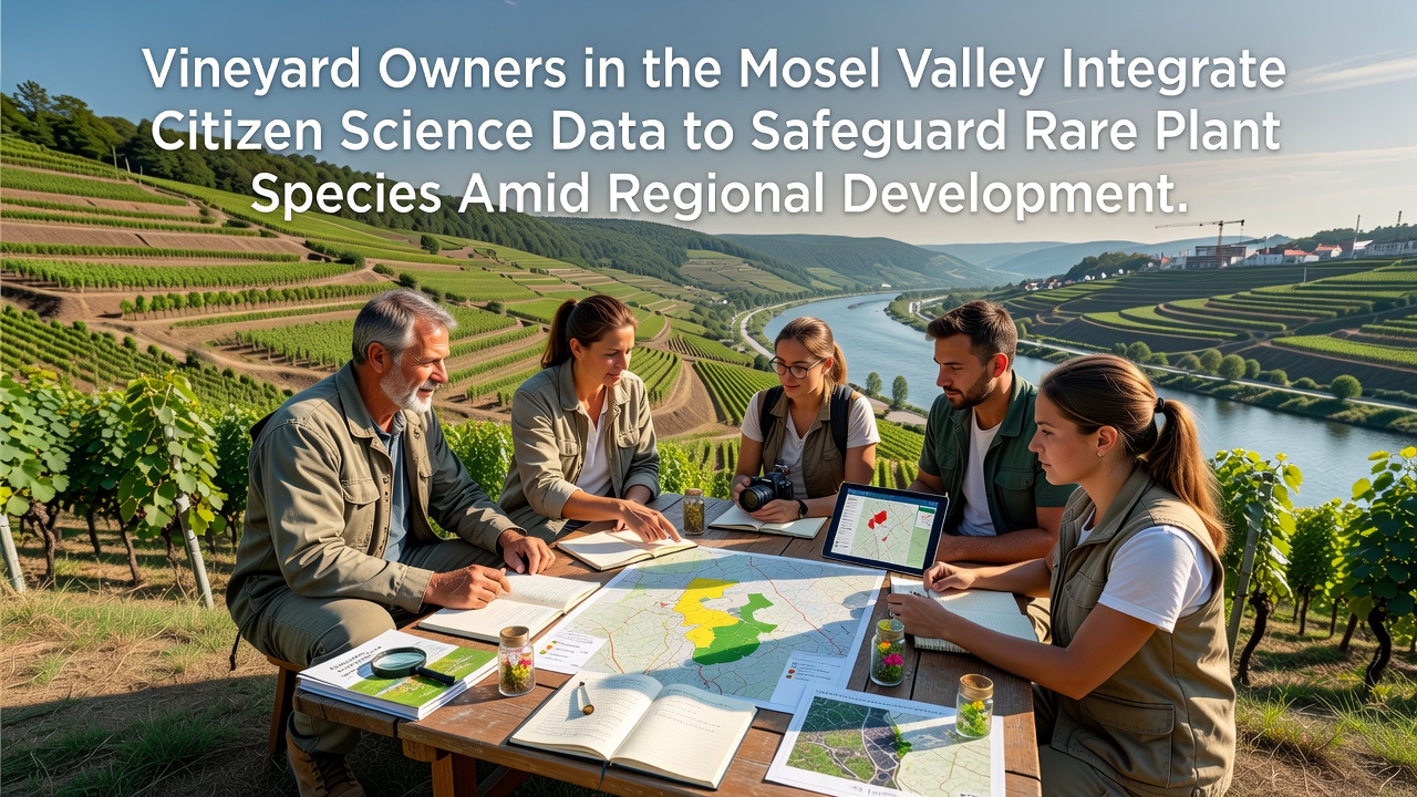
Mosel Valley vineyard owners have turned to citizen science platforms in recent years to monitor and protect rare plant species that grow alongside their terraced slopes, and this approach comes as regional development projects expand infrastructure and tourism facilities throughout the area.
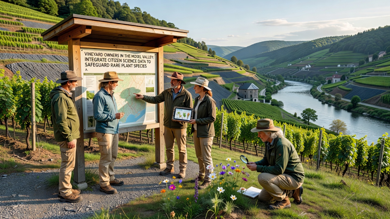
Local growers collaborate with volunteers who record sightings of protected flora through mobile applications and shared databases, while data from these efforts informs decisions about land use and conservation buffers that developers must respect during construction phases.
Background on the Mosel Valley Ecosystem
The Mosel region features steep slate slopes that support unique assemblages of plants including certain orchid species and ferns adapted to the microclimates created by the river and hillside orientation, and these habitats face pressure from new road expansions and housing developments that began accelerating after 2023.
Records compiled by regional botanical surveys indicate that several plant populations have declined in areas where vineyard expansion meets urban growth zones, yet precise mapping remained limited until citizen contributions filled gaps in official monitoring programs.
Citizen Science Integration Methods
Vineyard operators partner with organized volunteer networks that train participants to identify target species using standardized protocols, and the resulting observations feed into centralized repositories maintained by German conservation authorities, which then cross-reference the information with satellite imagery and ground surveys.
By October 2026 several Mosel estates reported integrating real-time alerts from these databases into their operational planning, allowing adjustments to irrigation or harvesting schedules that avoid disturbing sensitive flowering periods for rare herbs found between vine rows.
Role of Data in Development Planning
Planning commissions in Rhineland-Palatinate now require developers to consult aggregated citizen science datasets before approving projects near vineyard boundaries, and this requirement stems from updated environmental impact assessment guidelines issued by the European Environment Agency that emphasize community-sourced biodiversity records.
One documented case involved rerouting a proposed access road after volunteers documented a previously unmapped stand of a protected fern species, which led project managers to shift the alignment by 180 meters and install protective fencing funded jointly by the estate and local government.
Researchers at the University of Bonn have analyzed submissions from the past five seasons and found that citizen-collected points increased the known distribution range of three target species by 22 percent compared with professional surveys alone, while the same analysis highlighted corridors that connect fragmented habitat patches across multiple estates.
Challenges and Coordination Efforts
Coordination between vineyard owners, volunteer groups, and municipal planners encounters occasional mismatches in data formats and verification standards, yet joint workshops held quarterly have standardized submission templates that reduce duplication and improve accuracy for regulatory submissions.
Development pressure continues with tourism infrastructure projects scheduled through 2027, and vineyard representatives note that access to citizen science outputs helps them demonstrate compliance with habitat protection rules during permit reviews, which in turn shortens approval timelines when evidence is presented clearly.
Additional support comes from international sources such as reports by the Commonwealth Scientific and Industrial Research Organisation on similar citizen monitoring programs in agricultural landscapes, which provide comparative methods for quality control that Mosel participants have adapted to local conditions.
Observed Outcomes for Plant Populations
Tracking data gathered through these integrated systems shows stable or slightly recovering numbers for several rare species within vineyard-adjacent zones that adopted the monitoring protocols early, whereas areas without active citizen input continue to register incremental losses tied to edge effects from new construction.
Seasonal reports compiled for the 2025 growing cycle revealed that 14 estates contributed over 1,800 verified observations, and these figures contributed directly to revised management plans that designate no-disturbance periods aligned with peak bloom windows for the most vulnerable taxa.
Conclusion
The combination of vineyard stewardship and citizen science data collection has created a practical framework for balancing agricultural activity with species protection in the Mosel Valley even as development proceeds, and ongoing refinements to data-sharing protocols suggest the approach will expand to additional estates and neighboring wine regions in the coming seasons.