Freya Schmid · 29 September 2026
Satellite Mapping Exposes Shifts in Rare Fern Distribution Along the Danube Corridor
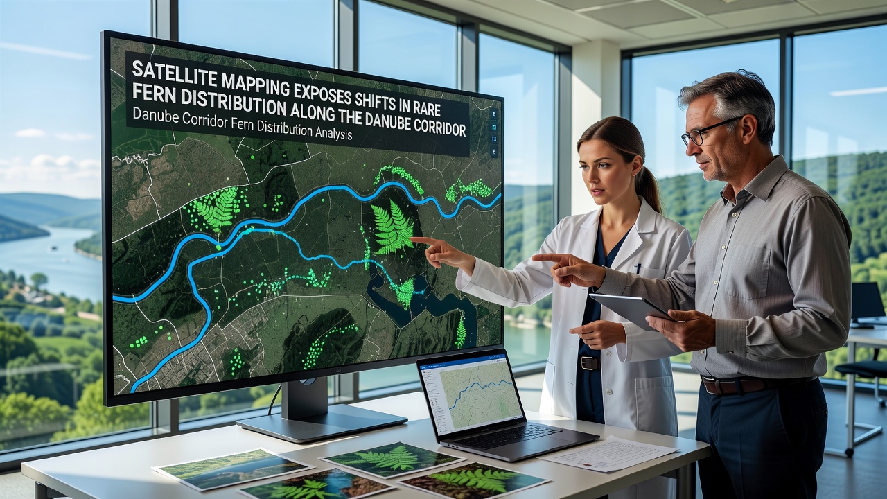
Researchers using high-resolution satellite data have documented notable changes in the distribution of rare fern species along the Danube River corridor over the past decade, and these findings rely on multispectral imagery from platforms operated under the Copernicus program. Data collected between 2015 and 2025 reveal both northward expansions and localized contractions in populations of species such as Asplenium scolopendrium and Polystichum aculeatum, patterns that align with measured shifts in soil moisture and canopy cover. The analysis draws on time-series datasets processed through machine learning classifiers trained on ground-truthed field samples from Austria, Hungary, and Serbia.
Methods Behind the Mapping Effort
Teams at several European research institutions combined Sentinel-2 and Landsat 8 imagery with LiDAR-derived elevation models to isolate fern-friendly microhabitats along the river's floodplain and adjacent slopes. Classification algorithms distinguished fern patches from surrounding herbaceous and woody vegetation by analyzing seasonal NDVI curves and red-edge reflectance values, while validation campaigns in 2023 and 2024 confirmed accuracy rates above 87 percent across 142 test plots. Because the Danube corridor spans multiple climate zones, researchers stratified the study area into upper, middle, and lower reaches to account for differing hydrological regimes and land-use histories.
Additional layers incorporated climate reanalysis products from the European Centre for Medium-Range Weather Forecasts together with records of flood frequency maintained by the International Commission for the Protection of the Danube River. These inputs allowed the models to test correlations between fern presence and variables such as spring soil saturation and summer temperature anomalies. The workflow, documented in a 2025 technical report, remains openly available for replication by other river-basin monitoring programs.
Observed Distribution Changes Through 2025
Between 2015 and 2025 the total mapped area of suitable fern habitat along the corridor increased by roughly 4.8 percent, yet this net gain masks pronounced regional differences. In the upper Danube section within Austria, fern patches expanded upslope by an average of 28 meters in elevation, coinciding with reduced spring flooding and warmer autumn temperatures. Farther downstream in Hungary and northern Serbia, several historically stable colonies contracted or fragmented, particularly on south-facing slopes where evapotranspiration rates rose measurably after 2020.
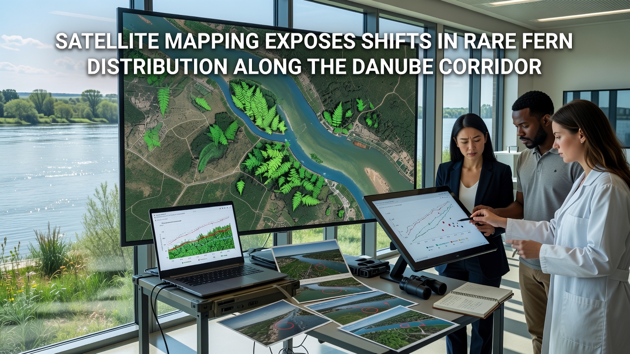
Species-specific patterns add further detail. Asplenium scolopendrium showed the strongest upslope movement, while Polystichum aculeatum remained more anchored to shaded ravines yet exhibited reduced patch density in areas experiencing prolonged summer drought. Ground surveys conducted in September 2026 corroborated the satellite-derived trends, recording new occurrences at 11 previously unoccupied sites in Slovakia and confirming losses at 7 locations in Bulgaria. These field checks also identified several small populations missed by earlier lower-resolution surveys, underscoring the value of repeated high-resolution mapping.
Drivers Linked to the Shifts
Statistical modeling points to interactions among altered hydrology, land-cover change, and rising temperatures as primary factors. Reduced peak spring flows have allowed woody encroachment into former fern meadows in some reaches, while improved water retention behind recent floodplain restoration projects appears to have stabilized or increased fern cover elsewhere. Satellite-derived land-cover maps indicate that areas converted from intensive agriculture to semi-natural grassland between 2018 and 2024 correlate positively with fern colonization, whereas sites experiencing continued urbanization show consistent declines.
Cross-referencing with temperature records reveals that mean annual air temperature along the corridor rose 0.9 °C between 2015 and 2025, with the strongest warming concentrated in the middle reaches. Researchers note that these temperature increases coincide with earlier snowmelt and extended growing seasons, conditions that favor certain fern species but may stress others adapted to cooler, moister microclimates. Soil-moisture estimates derived from Sentinel-1 SAR data further support the conclusion that water availability, rather than temperature alone, often determines local persistence.
Integration With Broader Monitoring Networks
The Danube fern study contributes to ongoing efforts coordinated by the European Environment Agency to track biodiversity responses to environmental change across major river systems. Comparable satellite-based approaches have already been applied to wetland vegetation in the Rhine delta and to alpine meadow communities in the Carpathians, allowing cross-basin comparisons of distribution dynamics. Data sharing agreements established in 2024 now route processed fern maps into the EEA's biodiversity information system, where they supplement traditional field inventories collected by national agencies.
Academic partners at institutions in Germany and Romania have begun incorporating the satellite layers into species-distribution models that project future scenarios under different climate and land-use pathways. These models, while still under peer review, consistently highlight the importance of maintaining connectivity along tributary corridors to facilitate potential range shifts. Observers note that the combination of remote-sensing frequency and field validation provides a replicable template for monitoring other under-surveyed plant groups in temperate Europe.
Conclusion
Long-term satellite records have supplied the first spatially continuous picture of fern distribution dynamics along the Danube corridor, revealing both gains and losses that track measurable environmental drivers. Continued acquisition of Sentinel and Landsat imagery through the coming years will allow researchers to test whether the trends observed through 2025 persist or reverse under evolving climate and management conditions. The methodological framework developed for this corridor offers a scalable approach that other large river systems can adapt to track similar vegetation responses.